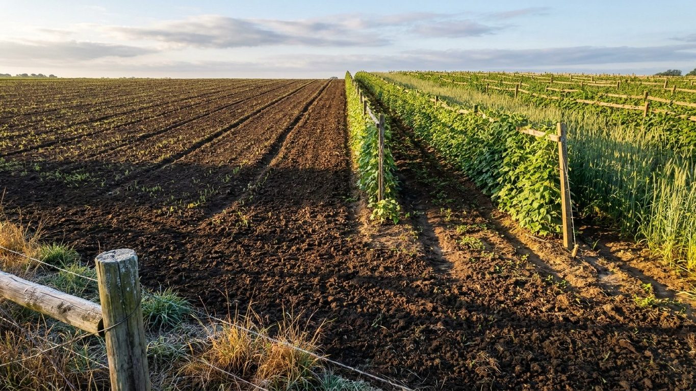

The safest window for fall-seeded cover crops in Wisconsin runs from mid-August through early September, giving plants four to six weeks of growth before the first fall frost arrives between October 17 and October 29. Spring-sown covers can go in once soil is workable, roughly matching the last spring frost window of April 16 to April 29.
The short answer for Wisconsin
Those frost dates aren’t fixed calendar markers. They come from NOAA’s 1991-2020 Climate Normals for station USW00014839, and they represent a 30-70% probability band for a 32°F freeze. That means on October 17, there’s roughly a 30% chance of frost already; by October 29, the odds have climbed to about 70%. Sow your fall cover crop with that spread in mind rather than treating either end date as a hard deadline.
For cereal rye, oats, or winter wheat, count backward from that October window. A four-to-six-week establishment period puts the ideal sowing date somewhere between mid-August and mid-September for most of the state’s cropland. Wait past mid-September and you’re gambling on a late frost to get decent root development before dormancy.
Spring-sown covers, like frost-seeded clover into an existing stand or a quick buckwheat smother crop ahead of a fall vegetable planting, key off the other end of the calendar. The last spring frost falls between April 16 and April 29, again a probability band rather than a guarantee. Soil temperature matters more than the calendar date here, but that window tells you when the freeze risk drops enough to stop worrying about a tender seedling getting nipped.
One nuance worth flagging: these dates come from a single station, and Lake Michigan changes things noticeably along the shoreline. Inland southern Wisconsin typically sees its first fall freeze in early October, earlier than the station-wide window suggests, while the lakeshore itself often lags behind because the lake holds heat. The far north freezes earlier still. Treat the October 17-29 range as a state-level anchor, not a promise for your particular field.
If your goal is a winterkilled cover, something meant to die back and leave a residue mat rather than overwinter, the calculation shifts again. You want enough growth to build biomass before that first hard freeze, but you’re not counting on survival past it. Radish and other brassicas are typically sown in this same August-to-September window precisely because they’re designed to succumb to the first real cold snap.
What will not work here
Wisconsin’s winter cold is the deciding factor for what survives into spring, and the number that matters here is the average daily minimum for the coldest month: 17.2°F. That’s not the record low, and it’s not a monthly average, it’s the mean of the daily lows during the harshest stretch of winter. A cover crop that can’t tolerate repeated nights near that mark, not just one cold snap, has no business being planted with overwintering as the goal.
This rules out anything marketed as a tender or subtropical cover for a fall-to-spring rotation. Sunn hemp, cowpeas, and most sorghum-sudangrass hybrids are summer annuals that die at the first frost regardless, which is fine if you’re using them as a short-season summer cover, but useless if you’re expecting them to hold ground through winter. Plant them in September expecting a green cover through January and you’ll have bare, exposed soil by November.
The short growing season on the northern edge of the state creates a second failure point. A cover crop that needs 60 to 90 days to reach a useful stage of growth, planted in mid-September, is racing a frost that can arrive in a matter of weeks depending on where in the state you are. Slow starters like some clover species or annual ryegrass sown too late simply don’t get enough root mass down before growth stops, and a thin, shallow-rooted stand does little for soil structure or erosion control.
Hairy vetch sits in a gray zone. It’s often recommended as a nitrogen-fixing winter cover in warmer states, but its winterhardiness is marginal once temperatures repeatedly drop into the teens, which is exactly what the 17.2°F figure describes for a typical Wisconsin winter. In the coldest parts of the state, expect thinner survival and patchier stands compared to what growers see in milder climates, even with identical seeding rates and dates.
None of this is really about heat or drought stress the way it might be further south or west. In Wisconsin, the failure mode is almost always the same story: something planted too late to establish, or something too tender to survive a real winter.
What changes across Wisconsin
Wisconsin isn’t one climate, it’s a stretch of hardiness zones from 3b to 6a under the USDA system, which classifies land by average annual extreme minimum temperature. That’s a wide spread inside a single state’s borders, and it means there is no single sowing date that applies evenly from the Iowa border to the shores of Lake Superior.
Zone 3b, found in the coldest northern pockets, sits at the far end of what USDA maps as landscape suitable for perennial planting at all, with extreme minimums well below anything the southern part of the state experiences. Zone 6a, closer to the reference conditions used for the coldest-month figure above, is a milder proposition entirely, with a shorter, gentler winter and a longer window on both ends of the growing season.
What that spread means practically: a grower in the far north should expect the fall sowing window to close earlier, sometimes by two or three weeks compared to the southern part of the state, because both the first frost and the general cooling trend arrive sooner. Spring sowing likewise starts later up north, since soil takes longer to warm and the last frost date pushes further into May in the coldest zones.
This page can’t tell you which zone applies to your specific location, and it shouldn’t try. Zone boundaries in Wisconsin follow elevation, distance from Lake Michigan and Lake Superior, and local terrain in ways that don’t reduce to a simple north-south gradient. The lakeshore effect alone can shift the practical frost dates by a week or more compared to inland areas at the same latitude.
The right move is checking the current USDA Plant Hardiness Zone Map for your county before locking in a sowing date based on state averages alone. Treat everything above as the outer bounds of what’s possible in Wisconsin, then narrow it down using your actual zone.
Where to check this for your own county
State-level frost dates and hardiness zones are a starting point, not a final answer. The University of Wisconsin’s Cooperative Extension service, at https://extension.wisc.edu/, publishes planting guidance broken down by county, and that county-level detail beats anything a statewide page like this one can offer.
Once there, look specifically for two things. First, a local planting or agronomy calendar for your county or region, since extension offices frequently adjust recommended sowing windows based on local soil temperature data and observed frost patterns that don’t always match the station-derived normals used here. Second, look for any variety trial results specific to cover crops grown in your part of the state. Extension programs often run field trials comparing how different rye, oat, or clover varieties perform under local conditions, and that trial data reflects actual outcomes rather than climate averages.
This distinction matters more in a state with as much internal variation as Wisconsin. A calendar built for Milwaukee’s climate normals, which is where the frost-date station used on this page is located, doesn’t necessarily reflect conditions in Bayfield County or Vilas County, both of which sit much further north and colder. Your county extension office has almost certainly already done the work of translating statewide averages into something usable for your specific soil and microclimate.
If your county office doesn’t have a published cover crop calendar, most extension services still take calls or emails, and agronomy specialists there can usually point to the nearest applicable data or trial results even without a formal published guide. That direct, local answer will always outrank a general state page, including this one, when it comes to picking an actual sowing date for your field.
Checking this against your own garden
Every date on this page is an average built from decades of station data. Your actual field, this year, is a different question, and your own observations settle it faster than any calendar.
Start with soil warmth by feel before any spring sowing. Push your hand a few inches into the soil in the area you plan to plant. If it feels cold and clammy rather than cool and slightly dry, the soil hasn’t warmed enough yet, regardless of what the calendar says about the last frost date having passed.
Watch nearby tender plants for frost damage as fall approaches. Basil, tomato leaves, and other frost-sensitive garden plants blacken and wilt at the first real freeze, well before you’d notice frost on a thermometer reading alone. That blackening is a reliable, free signal that your specific microclimate has hit its first fall freeze, which tells you whether your cover crop had enough of a head start or got caught short.
Finally, track how fast your cover crop itself is closing canopy once it’s up. A stand that reaches good ground cover within three to four weeks of sowing is establishing on schedule for your local conditions. One that’s still sparse and thin after five or six weeks is telling you the sowing date was too late for that particular season, information worth writing down for next year’s timing, since it reflects your actual field far than any state-average frost date ever will.